


Home

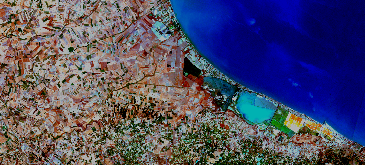
Remote sensing
Analysis of multispectral satellite images Landsat of the USGS, Sentinel-2 and 5p, SAR Sentinel-1 of the Copernicus program. Data validation with QGIS.
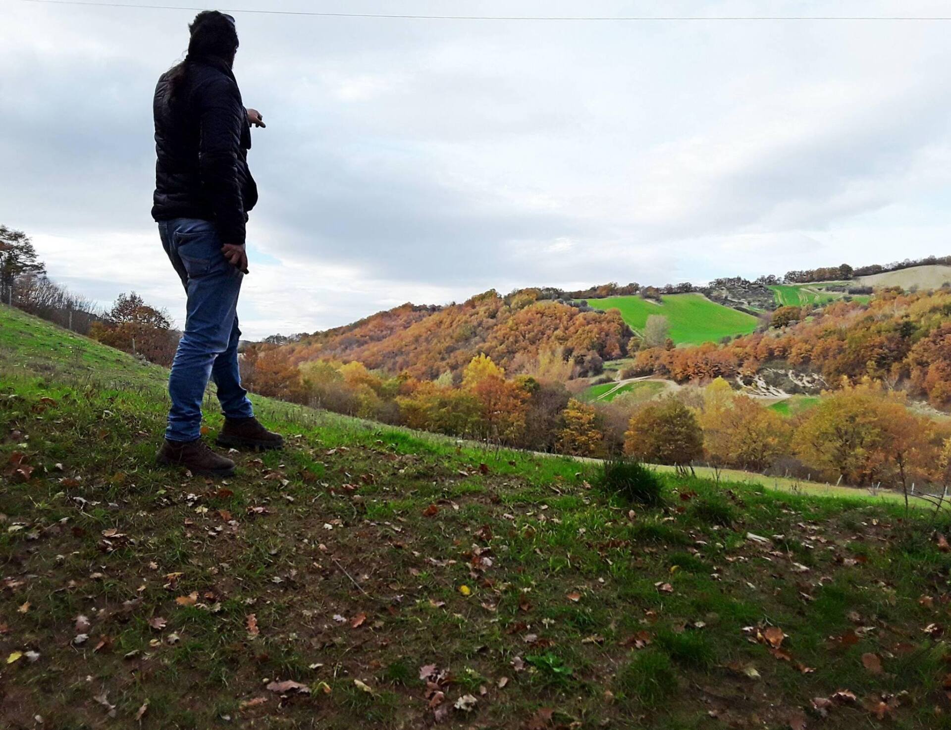
Precision agriculture
Agronomic analysis on observation and responses to changes in a crop (vigour, soil, humidity, irrigation, nutrients). Data validations with QGIS.
Strategy
Solutions for correct management of the territory and the environment in collaboration with sector professionals (agronomists, engineers, geologists, etc.), companies and relevant bodies.
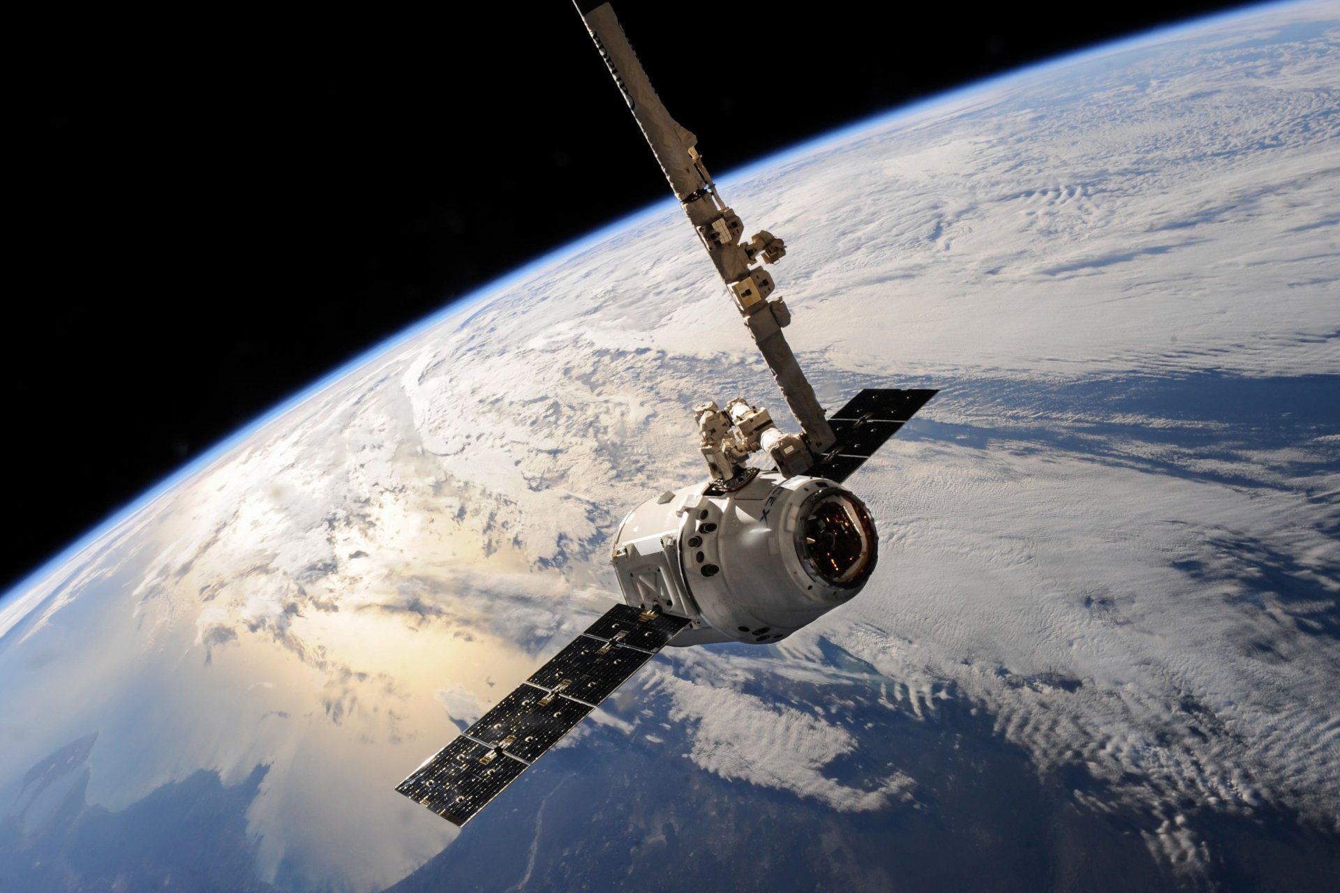
What is Remote Sensing?
Remote sensing is a technical-scientific discipline in which a measurement (signal) from a sensor is exploited to obtain qualitative and quantitative information on the environment and on a remote object (target) located at a distance.
Remote sensing uses photos or numerical data detected by satellites, space probes, aircraft, UAS-type drones, to characterize the Earth's surface for the purposes of environmental monitoring, with civil and military applications.
Via Diodato Lioy, 13, 85029 Venosa PZ, Italia
| SATmonitoring by Vito L'Erario |
P.Iva 02152550766
CF LRRVTI73R13L738C
Sole proprietorship registered in the Basilicata Chamber of Commerce Register of Companies No. REA PZ-213326
Concessionary measure: Microcredit A, contribution granted €23,390.00
The operation was carried out with the support of the European Union through the European Social Fund (ESF) as part of the OP ESF Basilicata 2014-2020
Received subsidy of €23,390.00, company in flat-rate accounting regime