


Remote sensing
Analysis of multispectral and radar images acquired from satellite and airborne platforms (UAS).
Fields of application
Monitoring of the territory (geology, agriculture, forests, archaeology, soil and land use, water, pollution, disaster estimation, photogrammetry, support for humanitarian operations) and atmospheric composition.
Processing
Calculation of some spectral indices
NDVI: vegetation vigor of crops and forests.
SAVI: adjusted vegetation vigor.
GNDVI: water and nitrogen uptake in plants.
NDRE: chlorophyll level, nitrogen stress. and to monitor the sugar level in some crops.
NDMI: vegetation water stress.
NDWI: Soil moisture level.
NDWI2: water content of water bodies.
LAI: leaf surface area that insists on the unit surface of leaf soil.
EVI: enhanced vegetation vigor.
NSDI: Snowpack Identification for Watershed Management.
NBR-dNBR: areas burned or affected by fire and severity level.
CWSI: crop water stress on rows with thermal data.
LST: Earth surface temperature: calculation of urban heat islands, pollution monitoring.
Temporal analysis of the territory: maps on changes in land use/cover, phenological stage of vegetation, seasonal hydrogeological phenomena; maps of forest changes, soil degradation, desertification, land consumption, soil waterproofing, spatial analysis of the evolution of urban areas.
Air quality monitoring (ozone, nitrogen and sulfur dioxide, formaldehyde and methane).
Precision agriculture
Agronomic analysis on the observation and responses to changes in a crop (soil, humidity, irrigation, vigor).
Fields of application
Monitoring of crop development, scheduled irrigation, estimation of crop yield, prescription maps. Extension to the SAP method (Main Agroecological Structure).
Processing
Calculation of Spectral Indices
(from satellite and/or airborne platform - drone with centimeter resolution)
NDVI: vegetation vigor of crops and forests (in real time).
GNDVI: Water and nitrogen uptake in plants (real time).
NDRE: chlorophyll level, nitrogen stress and to monitor the sugar level in some crops (in real time).
Environmental monitoring: vegetation inspection, forest health monitoring (also to combat forest fires), biomass calculation, coastal mapping and riparian vegetation surveillance also for river courses.
SAP/MAS: calculation of the main agro-ecological structure of agrosystems for the purposes of crop biodiversity.
Direct measurements
Direct soil analysis with a professional portable pH meter.
Soil analysis with direct measurement of electrical conductivity.
Note: currently not available from airborne platform (drone).
Strategy
Intelligent solutions for the territory and the environment in collaboration with sector professionals.
Goals
Archiving and consultation in "open sources" mode. Operational protocols and field actions in order to mitigate phenomena resulting from extreme events.
Implementation
Management and analysis of data from georeferenced thematic maps thanks to a specific WebGIS to share territorial information.
From the analysis of satellite images, to the calculation of specific "open sources" spectral indices.
A service offered to the territory to allow us to expand the offer of knowledge of data processed thanks to Remote Sensing.
Sharing of territorial information to a large number of users, including: institutions, companies, law enforcement agencies, environmental police, firefighters, freelancers, associations and citizens.
The projects:
- From the need to provide increasingly updated data on natural and anthropogenic risks caused by the climate crisis, the first project called GeoFireGuard was born, the open data service for monitoring and protecting areas at risk of fire, thanks to the processing of geospatial data made available available from the Sentinel constellations of the Copernicus program of the European Union and Landsat from the USGS/NASAIn continuity in providing increasingly updated data on the natural and anthropogenic risks caused by the climate crisis, the second project called GeoMorphoGuard is born, the open data monitoring and protection of areas at hydro-geomorphological risk, through the use of LiDAR products (DTM and DSM with 5 m resolution) made available by the RSDI Geoportal of the Basilicata Region, Sentinel-1 active remote sensing (interferometric and non-interferometric products) and Sentinel-2 passive remote sensing of the Copernicus programme.
webGIS service

Request a quote
What do you want to monitor? The fields of applications are many and every personalized request will be examined for an initial free consultation.
We can meet at the office by appointment.
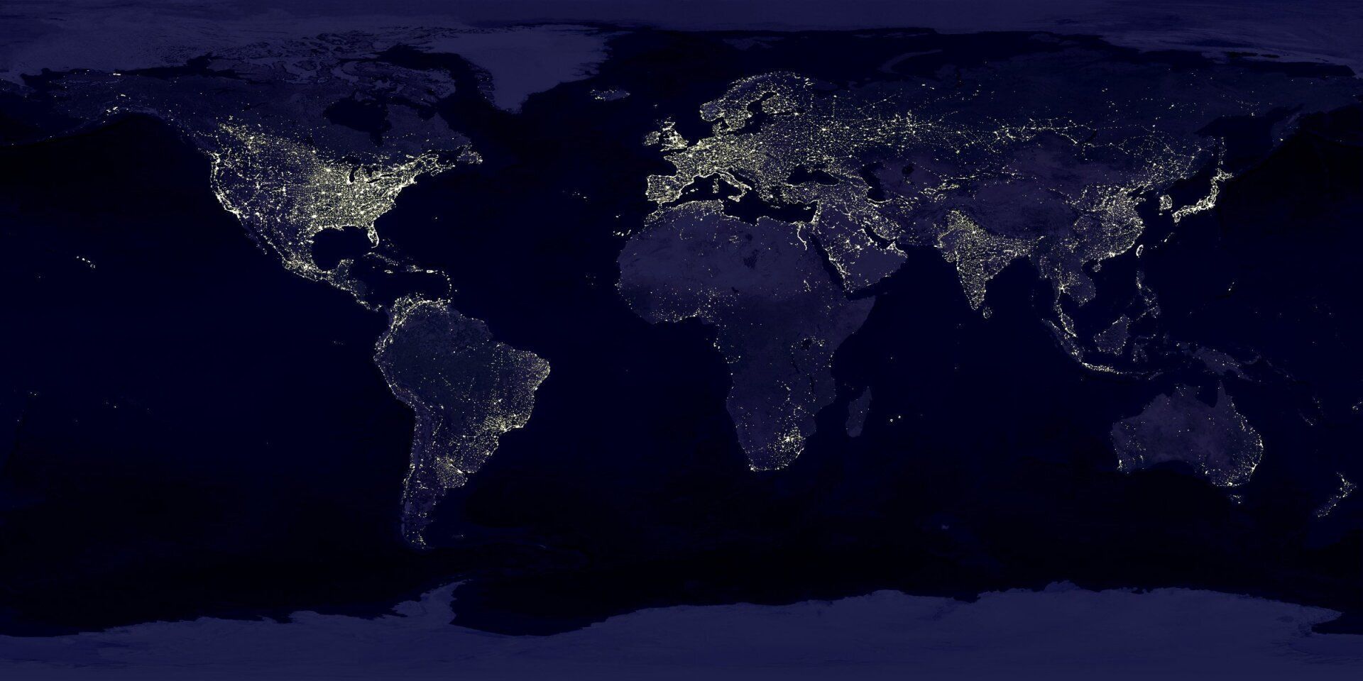
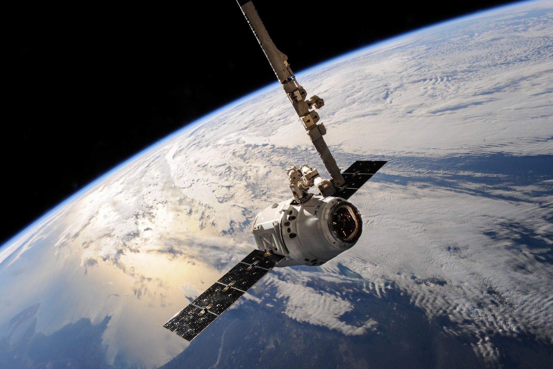
Satellite monitoring: Copernicus
The Earth observation program, coordinated by the European Commission with the participation of ESA (European Space Agency) for the generation of timely information (Sentinel-1 and Sentinel-2 missions).
The fields of application: land management, marine environment, atmosphere, emergency response, security, climate change.
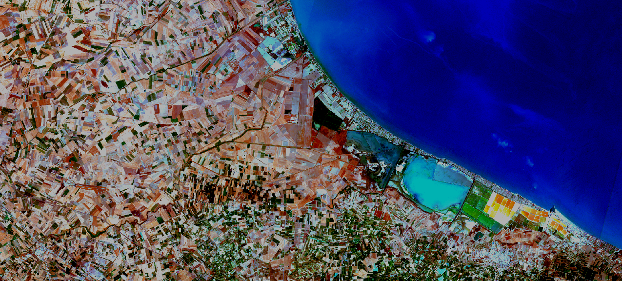
Satellite monitoring: Landsat 8 and 9
Landsat is NASA's only U.S. Geological Survey-partnered U.S. satellite system designed and operated to repeatedly observe the global Earth's surface at moderate scales showing both natural and human-induced changes.
Fields of application: climate and climate change, ecosystem functions and services, carbon cycle and sequestration, resource management, national and global economy, human health and society.
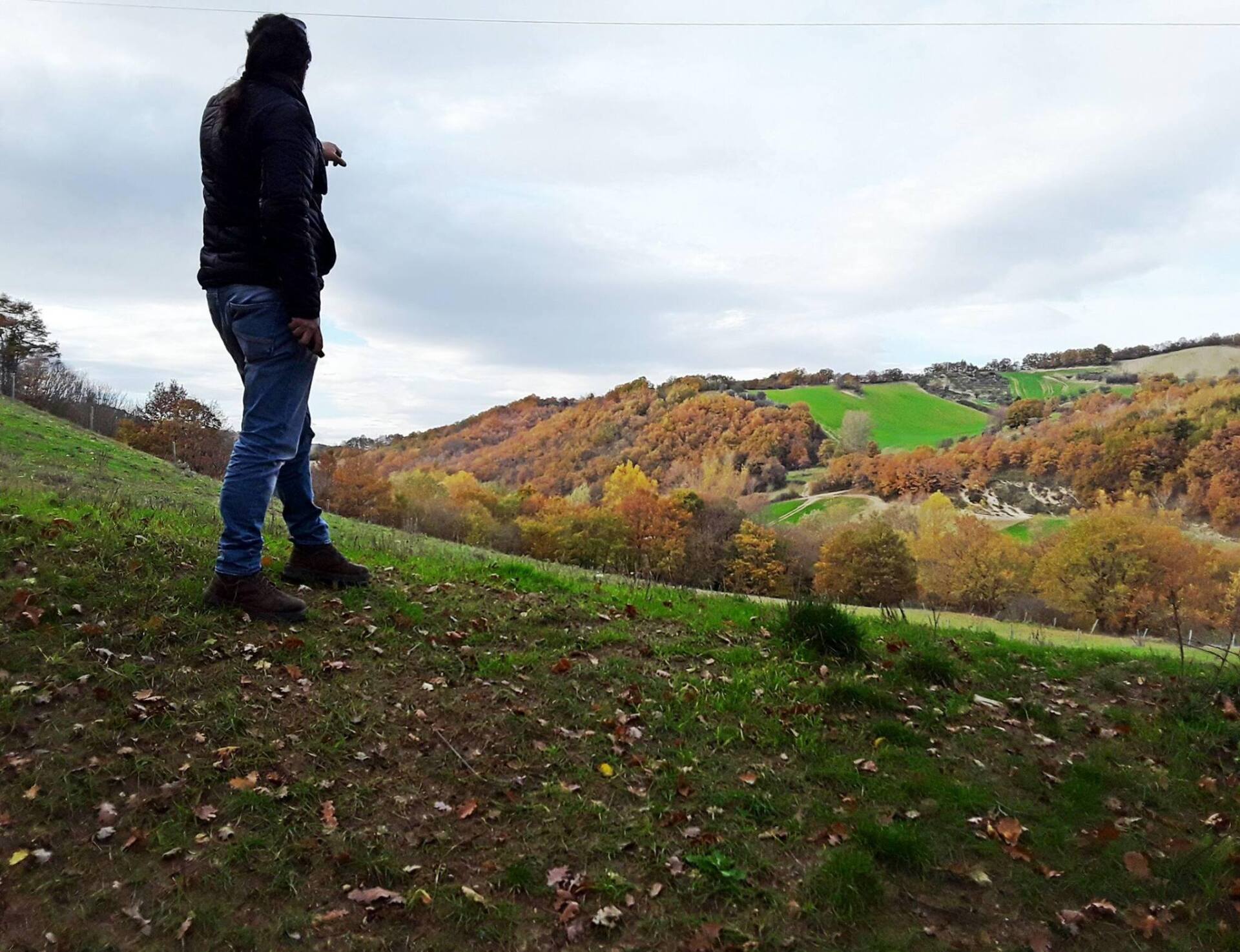
Drone Tracking: DJI Mavic 3M Multispectral
Precise data on the state of vegetation with Mavic 3M Multispectral: high-precision drone monitoring service with integrated system with multispectral images and RTK module.
Fields of application: precision agriculture, environmental monitoring and inspections.
| SATmonitoring by Vito L'Erario |
P.Iva 02152550766
CF LRRVTI73R13L738C
Sole proprietorship registered in the Basilicata Chamber of Commerce Register of Companies No. REA PZ-213326
Concessionary measure: Microcredit A, contribution granted €23,390.00
The operation was carried out with the support of the European Union through the European Social Fund (ESF) as part of the OP ESF Basilicata 2014-2020
Received subsidy of €23,390.00, company in flat-rate accounting regime